3D webscene
This webscene is a 3D map of Scheveningen in The Hague made with LiDAR data.
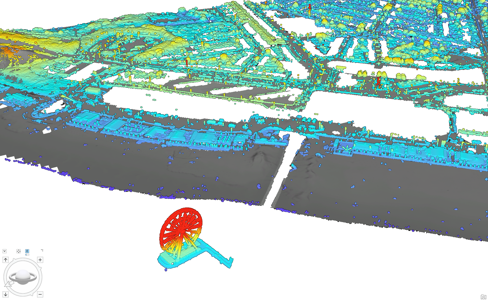
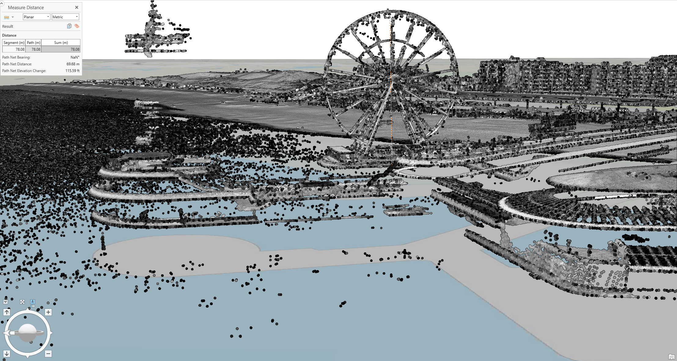
This is a screenshot of a 3D web scene of Scheveningen in The Hague. To create this map, I uploaded RGB, DSM, and DTM files containing the 2D XY coordinates of the area to a world map in ArcGIS. Next, I converted an LAZ file containing the 3D Z coordinates of the area to LAS format using the appropriate software and loaded this new file into the map. Utilizing the 3D view in ArcGIS, I explored different data layers. I generated hillshade and 3D visualizations for better analysis and used the available tools to take necessary measurements. Unfortunately, the interactive web scene could not be published, so only a screenshot is visible on this website.
When classifying the LiDAR points in the LAS file, I chose intensity for the symbology. This measures the amplitude of the reflected LiDAR pulse, which varies for every point depending on the type of surface, angle, wavelength, and distance. This made the map very detailed, showing differences in objects visible in the area. You can now easily distinguish between the beach, sea, pier, buildings, and streets. I kept the color scheme in black and white to keep it simple. The outcome is shown below. This perspective was also used to measure the height of the Ferris wheel.